Recent SOTA Activations

Monday, January 20, 2014

Pt. 1502 (W6/NC-367) SOTA Activation

On 20 January the family and I went out to Harvey Bear / Coyote lake state park that we had been eyeing for hiking, geocaching and SOTAing. We had planned to start a little earlier but when the kids are not ready to get out of bed, then I wait. Pt. 1502 was a previously unactivated summit and I wanted to make sure it had been activated before I left CA. There are still a few of these summits that I have my eye to do before leaving in a few months. This is one of those summits that you would not want to do in June or July even if it is only 4.5 miles. 

Route: See my everytrail post and you should easily find directions. From 101 south and follow the signs on the HWY

Cell Signal: 
Great verizon signal. Digital. Call, Post, and Text no problem.

Radio working conditions: 
No issues. Nice and quiet on the bands

Trail Condition: 
Well Maintained Easy to follow fire road and trail.

Weather: 
70 degrees beautiful day!

Fees: 
$6 Fee at the Entrance to the park.

Lessons Learned: 
*** I like the Lambda antenna that I made. I first tried to use my MP1 Superantenna and had nothing. I then switched to the wire and was getting 599s from the east coast. See the link to the antenna in Setup notes.

EveryTrail Route: 

http://www.everytrail.com/view_trip.php?trip_id=2636273


Setup: 
PFR3 with internal AA batteries - http://www.qrpkits.com/pfr3.html

Lambda Antenna - http://www.youtube.com/watch?v=VXo0XucRpt0&list=FLuy-J6QwwXmIdgM0-I2ue7w&index=1

AME Porta Paddle II - http://www.americanmorse.com/portapaddle.htm

Contacts: 
20 Total CW contacts. 1 S2S with KC5CW, Thanks Curtis.


On the way up. All the kids. Peyton is carrying his overnight pack getting ready for a backpacking trip.


 Delma is carrying Kimber in the pack. This is one of the rare occasions that Kimber was awake she sleeps most of the time in the baby carrier.


At the summit. Kimber was enjoying her spot by the tree!


 A shot of the PFR3, key and log. If you look closely you can see the lambda antenna on the rig. This antenna is two wires. The bottom part is wound together to act as the feedline and then splits for the elements. Very impressed with this setup today. My signal reports were great. Maybe it was conditions but when I started with the MP1 I was not doing well.


Glad to be back at the truck!


The wild boars are everywhere in this park. I don't think that I have ever seen so many pigs.


Thanks to all the patient chasers!!!!

Saturday, January 18, 2014

Richard East Benchmark (W6/NC-407) Vollmer Peak (W6/NC-298) SOTA Activation

On 17 January I took our youngest son Colten out on a pair of SOTA activations with me. I found 2 easy summits that I had not yet activated. I woke Colten up at about 0545 in the morning and we were out of the house for our hour trip north to Marin county by about 0615. I decided to head out early to avoid all the Friday commute traffic. If we would have waited another hour it would have taken us 2 hours. A great trip out with my 4 year old son. He did great and would always find things to do, usually piling rocks to make "castles" or seeing how far he can throw rocks off the summit. *No hikers were injured or killed from rocks.

Route: 
                    
                       Vollmer Peak                                                     Richardson East BM

For Richardson East - After you get off on Spencer Ave go straight until you come to the underpass on your left. Take a left and go through the underpass. There is a park and ride parking lot on your right and curbside parking for 5 or 6 cars on the left.

Cell Signal: 
Richardson East BM - Yes (Verizon). Digital Signal Questionable but with patience will be possible to self spot. I was able to make phone calls and send text but SOTA goat was in and out. 

Vollmer Peak - No issues, full signal.

Radio working conditions: 
Richardson East BM - No issues
Vollmer Peak - Very Noisy be prepared to dig down in the noise. Bring VHF just in case.

Trail Condition: 
Well Maintained Easy to follow fire road and trail.

Weather: 
Breezy but sunny and clear on Richardson east. 65 degrees and sunny slight breeze on Vollmer Peak.

Fees: 
No fees at either area.

Lessons Learned: 
Always bring a multi-tool for trail fixes (see setup notes below). 

EveryTrail Route: *Note - I am going to work on editing the names of my everytrail routes to include "SOTA" with the  name and Ref # of the summit for easier searching. So if you are interested in any of the summits that I do you should be able to search for the Summit Name, Reference Number, or just "SOTA" and you will find somthing. Trying to make it easier for other activators.

Richardson East BM - http://www.everytrail.com/view_trip.php?trip_id=2594432

Vollmer Peak - http://www.everytrail.com/view_trip.php?trip_id=2594430

On this trip I did a loop. I started up the trail on the end of the parking lot and then I can down the access road. Different things to see from both routes.


Setup: 
PFR3 with internal AA batteries - http://www.qrpkits.com/pfr3.html
MP1 Superantenna - http://newsuperantenna.com/MP1-SuperStick-Portable-Vertical-Antenna-Deluxe/. 
AME Porta Paddle II - http://www.americanmorse.com/portapaddle.htm

Here is a photo of my Porta Paddle attached to a clipboard. This had been working for me until this activation. If any chasers saw my first alert quickly followed by a technical problems alert you now know that the cable ground to the connector came disconnected. I was lucky enough to be able to call my friend who was on his way up to bring a screwdriver and Gerber, which I forgot. It is a good thing that he slept in and was not at the trail head at our original link up time! As you can see I drilled two holes in the top of the clipboard for strain relief! Oh...and my cheat sheets for CW when I get really brain fried!


Contacts: 20 Total CW contacts.
Richardson East BM


Vollmer Peak


Colten on the way up Richardson East BM.


Surise Picture on the way up.


Here are two pictures. That Island with the peak is W6/CC-075 Mt. Livermore


Getting Closer to the top.


You can see the top of the Golden Gate Bridge on this one.


Some Pictures from up on the Summit. We dropped off the South East side for some protection from the wind. Still well within the activation area.


Here are a few pictures from Vollmer Peak. I think that by this time I forgot that I had a camera. But I did get a few.


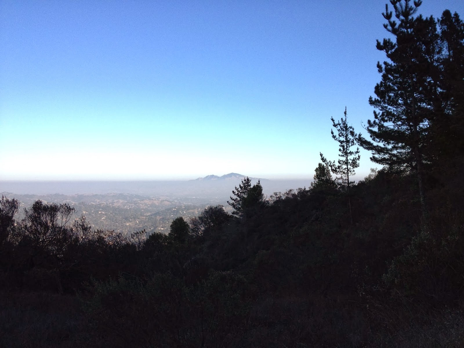
The two summits that you see in this Picture are Mt Diablo W6/CC-045 and North Peak W6/CC-051.


Thanks again to all the chasers. Thanks for being patient with me on my CW skills. I hope that they are starting to get better. I notice that I can pick up certain things a lot easier. Also, please understand that for me SOTA is a family sport a lot of the time. My young kids get very impatient if I stick around too long on the summit. I always have to incorportate throwing a football, geocaching, or something else to keep them entertained. I apologize for the quick band changes and low amount of actual time spent on a summit. As the years move on I am hoping for a family full of SOTA activations and some over night stays in the woods.

As most everyone knows I am off to Washington in April. I am looking forward to a bunch more summits that I have not activated and meeting some more SOTA activators. I do have a plan to activate a good amount of unactivated summits around the area here. Looking forward to the next few months of good weather in CA. 

Thanks again

Sunday, January 5, 2014

Black Mountain (W6/NC-150) SOTA Activation

On January 5th the whole family and I headed up to Black Mountain for the first SOTA and Geocaching trip of the year. This was also a practice run for my 8 year old Peyton to prepare him for our upcoming backpacking trip. You can see in some of the pictures that he carried a little bit of a load in his pack. Peyton carried the Arrow Antenna, 7.5 AH slab for the FT857d, the blanket, the Sandwiches in a small cooler, and a few other odds and ends. My wife also carried our 1 year old daughter all the way to the top of the summit and a good distance back down. She by far carried the most weight! I carried the radios and pushed the jogging stroller in case on of the younger kids needed a ride. My 5 year old daughter Brookelyn, 5 year old niece Makailla, and 4 year old Son Colten all made it the whole distance and had a great time. Peyton also got on the air for a few SOTA contacts and some Kids on the Air contacts as well. He had a great time. Delma did her best to entertain the baby while Peyton and I messed around on the radio. I also attempted my second CW activation with 1 contact on 7 mhz and a handful on 10 mhz. I still need practice but will keep it up with an activation starting with a few CW contacts. Bear with me! The hardest part was sorting through the pileup and dealing with the band fading. I would hear a signal real strong and respond and get nothing back. 

Route: From Moffett Field Exit in Mountain View, CA take HWY 85 South (4.6 Miles) to HWY 280 North (6.5? miles) to Page Mill Road, Left on Page Mill Road (4.2 Miles) To small parking lot on the Right side of the road.

Cell Signal: Yes (Verizon). Digital Signal Questionable but with patience will be possible to self spot.

Interference: None on HF. Though there did seem to be a little on VHF on the HT. Every few seconds a very loud buzz would come through on 52.

Distance: Round Trip 4.5 Miles

Trail Condition: Well Maintained Easy to follow fire road and trail.

EveryTrail Route: http://www.everytrail.com/view_trip.php?trip_id=2444047 I did not actually track this trip but we did take the same route as I have in the past.


Setup: PFR3 with internal AA batteries and FT857d with 7.5 AH slab. I used the MP1 Super Antenna for both radios.

Contacts: 28 total with 8 cw contacts. Peyton and I also got some help from kids day as Peyton hung out on 14.282.500 calling cq kids day for a while.


The kids heading up the trail. 


Delma on the way up with Kimber. This was probably a 45 lb pack 2.5 miles to the summit.


It did not take long and she was out!


Back awake and keeping mom busy at the summit. The hardest part is keeping her from eating all the dirt up there!


Now it is time to explore all the trails.


A little view of the valley.


If there is a tree they will climb it.


Peyton playing with his sister.


Brookelyn


Mckailla who is our niece who has come to live with us for a while.


Peyton and I working the pileup. You can see the PFR there and the MP1 behind us.


Peyton did a great job today. He did a number of the SOTA contacts and then followed up with a few kids on the air contacts. I told him that he could go until he was tired or until the battery died. After a little while of calling CQ he decided that he was done. I think that mom was happy about that!


Mom and Kimber doing "selfies" while we were playing radio.


We always have to find the benchmark!


Our last Summit picture before starting down.


This tree was right before we got back to the trail head. It looked like a neat tree to play in and get a picture.


Thanks to all the chasers and everyone that puts the time into SOTA to make it what it is.