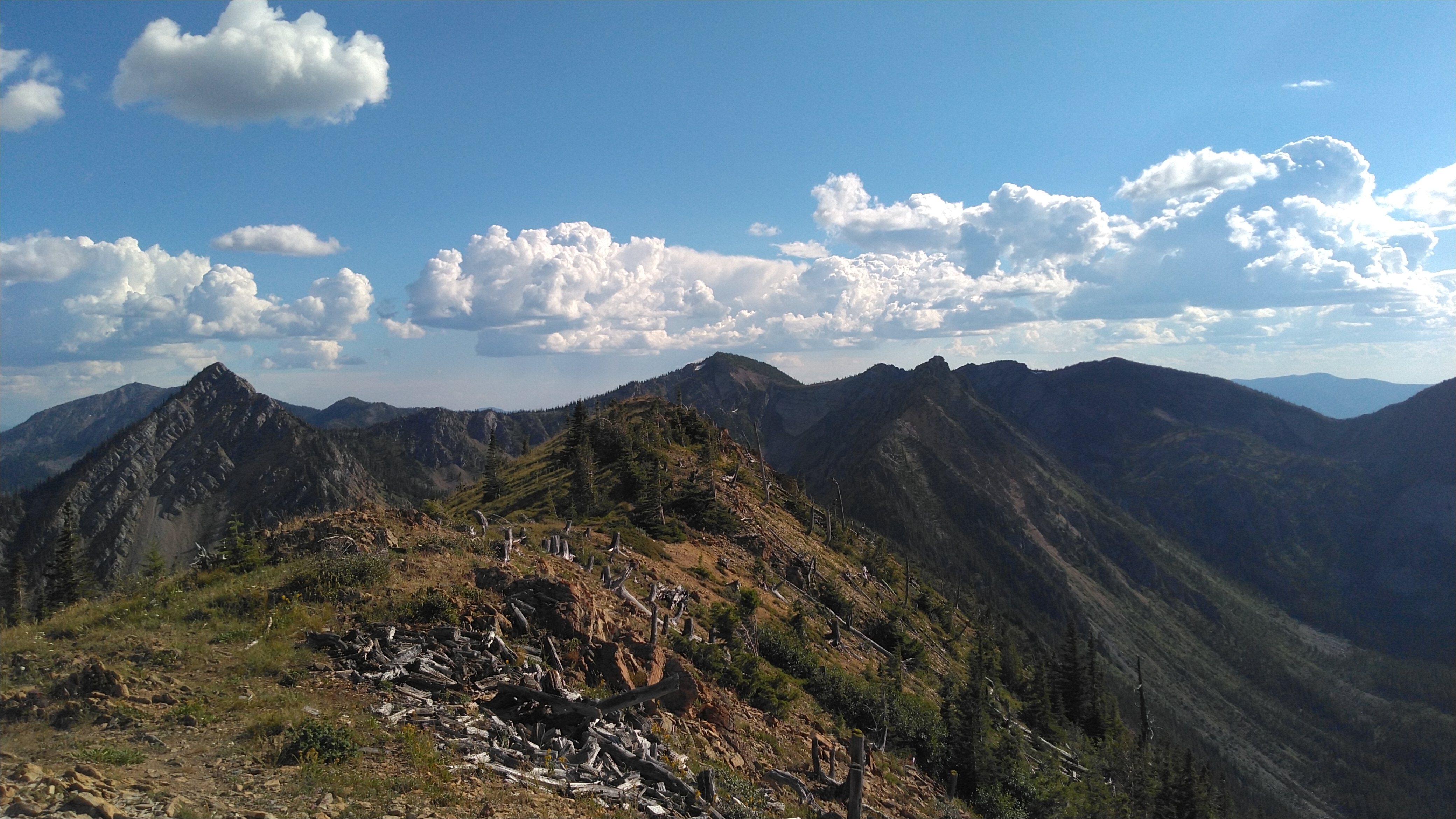
If you are in Montana and see this one do not overlook it. You have the chance to see some cool history, and stay in a lookout tower all while doing a Summit.
On August 18th, 2019 the family and I headed out toward Werner Peak to help raise a local radio tower. I had spent the previous day helping to get the tower down and replace some solar panels and install a whether station at the site. Upon arrival it was evident that the repeater antenna had taken a direct lightening strike and was going to need to be replaced. So we headed up there and helped to get the tower back up and then headed down the trail.
Video of Werner Peak Lookout
DNRC Rental Page - Click here for the site where you can rent this lookout. It goes fast so check when the rental page opens for the year.
The trail has a lot of ups and downs and can be a bit strenuous in places. My 6 year old girl with arthritis did it so use that as your guide. From the lookout you can head straight North following the well used trail. At this point you will have passed the ridge to the summit but the extra .2 miles is well worth it. You will come on an old (1913) trappers cabin that is still standing. There is a seasonal creek (still running today) that runs by the cabin.
Webpage with history of Cabin...check this out as it has some cool history.
We stopped for a few minutes and then my oldest son and I headed back up the trail to the ridge leading to the summit. The rest of the crew stayed at the cabin to get some shade, play in the stream, and find some frogs.
We followed the ridge on the South side of the summit. The first part of this after leaving the trail is very steep but if you just grind through that then the ridge walk to the top is very pleasant with good views of the glacier peaks, Werner lookout and the valley below.
Above is a short video of the trail. It is great condition and has some leisurely spots that are fun to walk.
Cell Signal (Verizon): Signal is sketchy in this area...even at the lookout. If you rely on cell spotting I think that you would have no problem getting a spot out though. It might just take a minute.
Trail Conditions: When you are on the trail it is in great shape. There is no trail to the summit along the ridge. The ridge is steep at the beginning but then an easy hike after getting up the first part.
Equipment used: I used my Kenwood TM-D72a for all 2m contacts and APRS along the way. My wife (KK7DEL) at the Yaesu VX-6 down at the cabin and I carried the Elecraft KX-1 in the bag. With more time or no luck on 2m I was prepared to set it up.
APRS: There is an APRS node at Wernell and a repeater (146.26 MHz, PL - 100) You will have no issues with APRS during the hike. I was easily hitting 4 other APRS locations including all the way to Missoula on University Mountain.
GPS Tracks:
Driving GPS Tracks
Hiking Tracks
Distance: If you have to park at the gate (most likely) about 6.5 miles r/t if you go to the Cabin. If you skip the Cabin it will be about 6 miles. If you are able to get to the lookout and start from there you can take off about 1.4 miles from each of these distances.
Log:
 |
| I only did 2m FM today on the summit. When all of the kids are with me I don't want to spend a whole lot of time and bore them to death. They had a lot of fun but keeping it interesting is the key. It sure made it a lot easier that most of these people were 1.5 miles away working on the tower, and my wife was down at the cabin with the kids. If I get all of my kids licensed it will be a breeze! :) Thanks Leo, Ann, and Richard for having the radios on down in the valley. |
There is some nice looking lakes down near the cabin and the fire lookout says that they have cutthroat in them. This trail also continues along the whitefish divide and could be backpacked with many opportunities.
 |
| Looking back at the lookout from along the trail |
 |
| Selfie from the summit. |
 |
| Huckleberries that Peyton and I picked on the way off the summit. |
 |
| Kids picking more Huckleberries along the road on the drive down. |