Recent SOTA Activations

Showing posts with label Fire Lookout Ruins on Summit. Show all posts

Sunday, August 21, 2022

Ousel Peak (W7M/FN-157) SOTA 8.6.2022

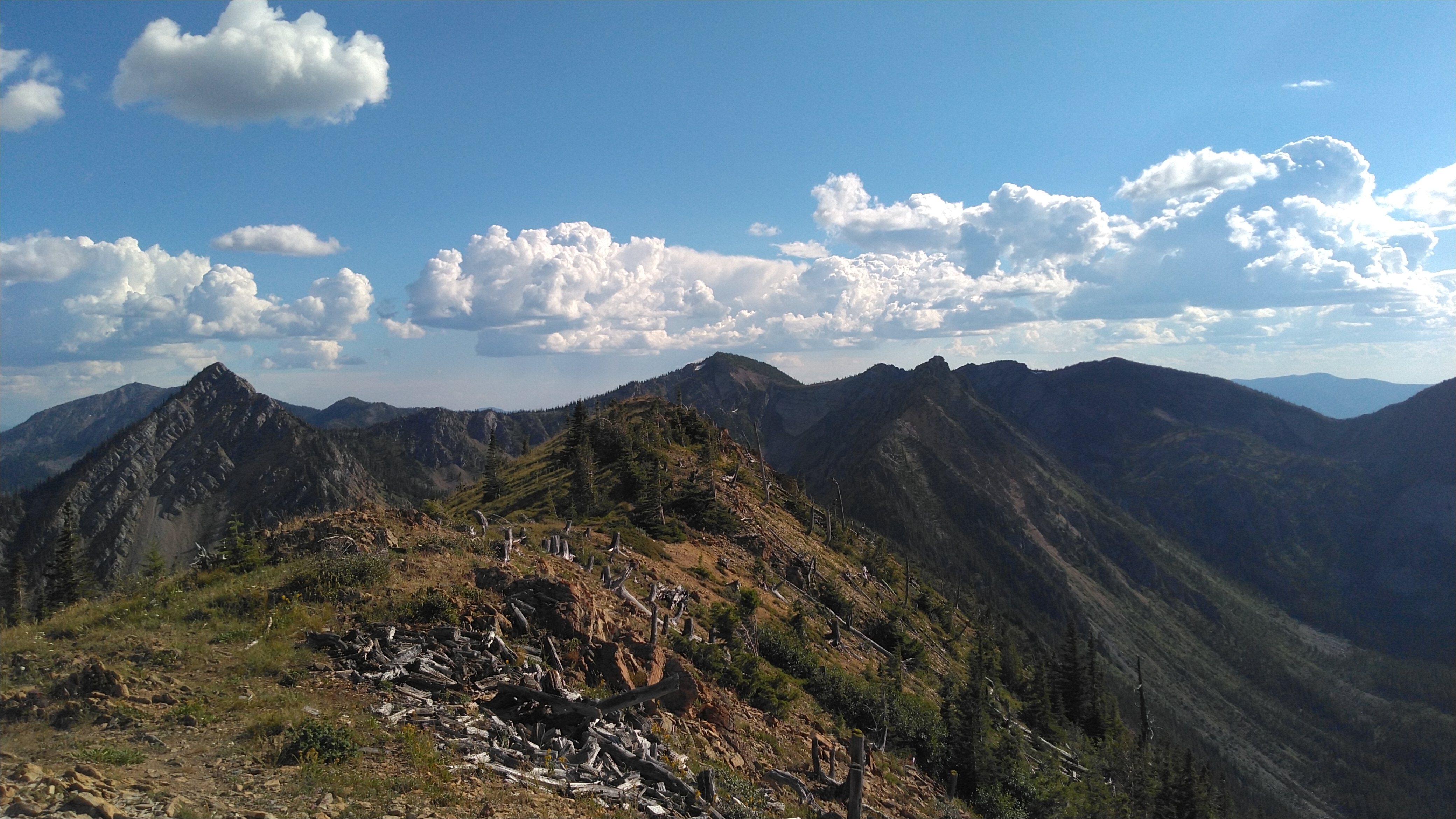
Ousel Peak is a peak in the Great Bear Wilderness that I have been eyeing to do for a while. The truth be told I started to hike this a couple years ago but noticed how steep it was and it was much to late in the day to make it to the summit. So on the 6th of August Colten and I made the hike. Starting about noon it was still much later in the day then I would have liked. 

The hike was about 3.7 miles one way with about 3,800’ of elevation gain. It had me breathing hard and the legs burning on the way up. The views are absolutely amazing and I am not sure that my pictures do it any justice. It is well worth all the work that it took to get to the summit. 

I used my MTR3B(LCD) on this hike with the elecraft T1 tuner on a 41' Random wire. On this hike I actually did take my MP1 Super Antenna but I made the choice to retire this antenna. My coil is just worn out and it is much heavier then I want to carry with me. Wires are much better for me and the Super Antenna is going to go back in the Antenna bin. This was left over from when I first started Summits on the Air and was using a FT857d, SLAB Battery, and the Super Antenna...not any longer though. 

I am working on a linked EFHW antenna for use with the MTR3 / ATS / or Rockmite radios that I have. 

I did not have any cell phone service at the summit for most of the time that I was up there. Although right when I was leaving I got a few notifications so I am sure that it is possible. I did all of my spotting using APRS. I would not count on having cell signal and come prepared. 


Monday, October 21, 2019

Standard Peak (W7M/LM-153) SOTA


Not a lot of pictures today. Standard is the peak that is in the back left of the photo. My daughter and I had a great hike up to the summit of this previously unactivated peak. The weather was calling for rain but we decided to make a go at it. We did not get any rain until the way back down off of the summit and then we got dumped on. We did hear a little bit of thunder but saw no strikes. A great hike.

Date: 8 September 2019

Summit Name: Standard Peak

Summit Coordinates: 48.5419 N 114.2471 W

SOTA summit designator: W7M/FN-153.                        Grid Square: DN28vn.

Elevation: 7,196 ft.                                                            Prominence: 1,476 ft.

Distance: 6.2 miles round trip

Cell Signal: Had signal for most of the trip and was able to send spots at summit using SOTA Goat (Verizon).

APRS Signal: I was hitting digipeaters after making the ridge. Definitely would be able to use APRS to SOTA for spots and send messages from the summit.

Trail Conditions: Well maintained. 2 other parties encountered during the trip. There were plenty of Huckleberries along the trail. Bring a Container.

Equipment Used: Kenwood TM-D72 for APRS and FM contacts. Elecraft KX2 for HF. Homebrew dipole antenna (20m).

Radio Log:
Thanks everyone for the contacts. Special thanks to Martha and Gary for the Summit to Summit contacts. Also to the locals who keep tabs on the kids and I and make sure that we make it out safe.