|
| Lily and Peyton at the Summit |
I had to make a quick trip to Ritzville, WA on the 24th of August to take Lily back to Montana. She spent the last few weeks with me and had to start school on the 26th. We decided to make a quick Geocache hike and SOTA activation on our way over. Mount Catherine was a great choice because it was a short, quick hike, It was a SOTA complete for me, and there were geocaches on the way up. Thanks to all the chasers that worked me up on the mountain. I apologize for the "CW moments" as it had been a while since I had practiced. I am continuing to get better though. One thing that I really need to do (I keep saying this) is to get back into a SSB mode. I had the kids do some calling on 2m FM but there was just not anyone taking today. I have recently purchased a LNR Precision FX4 but it seems to be very picky with antennas. I just got a LNR Precision MTR EF Antenna. If I can get this tuned and working I should be able to get the kids back on the air. They are both working on getting their tickets but until then I like to hear then on HF. If there are any ideas on antennas I would like to hear. I am working the linked dipole option also but I have been busy lately.
 |
| Charlie the GEOSOTA dog on the summit. |
Cell signal (Verizon) most of the way up and great at the summit. No issues with digital spotting.
Repeaters:
Did not try any repeaters up here. I did make a couple calls on 146.52 with no luck.
Radio working conditions:
No noise...great conditions.
Trail Conditions
2 miles great trail.
Weather:
Nice warm, smokey day today.
Fees:
None, I can't remember if there was a requirement. I have all passes in my truck so sometimes I forget to worry about things like this. I don't believe anything is required though.
APRS:
Not tested today. Sorry.
 |
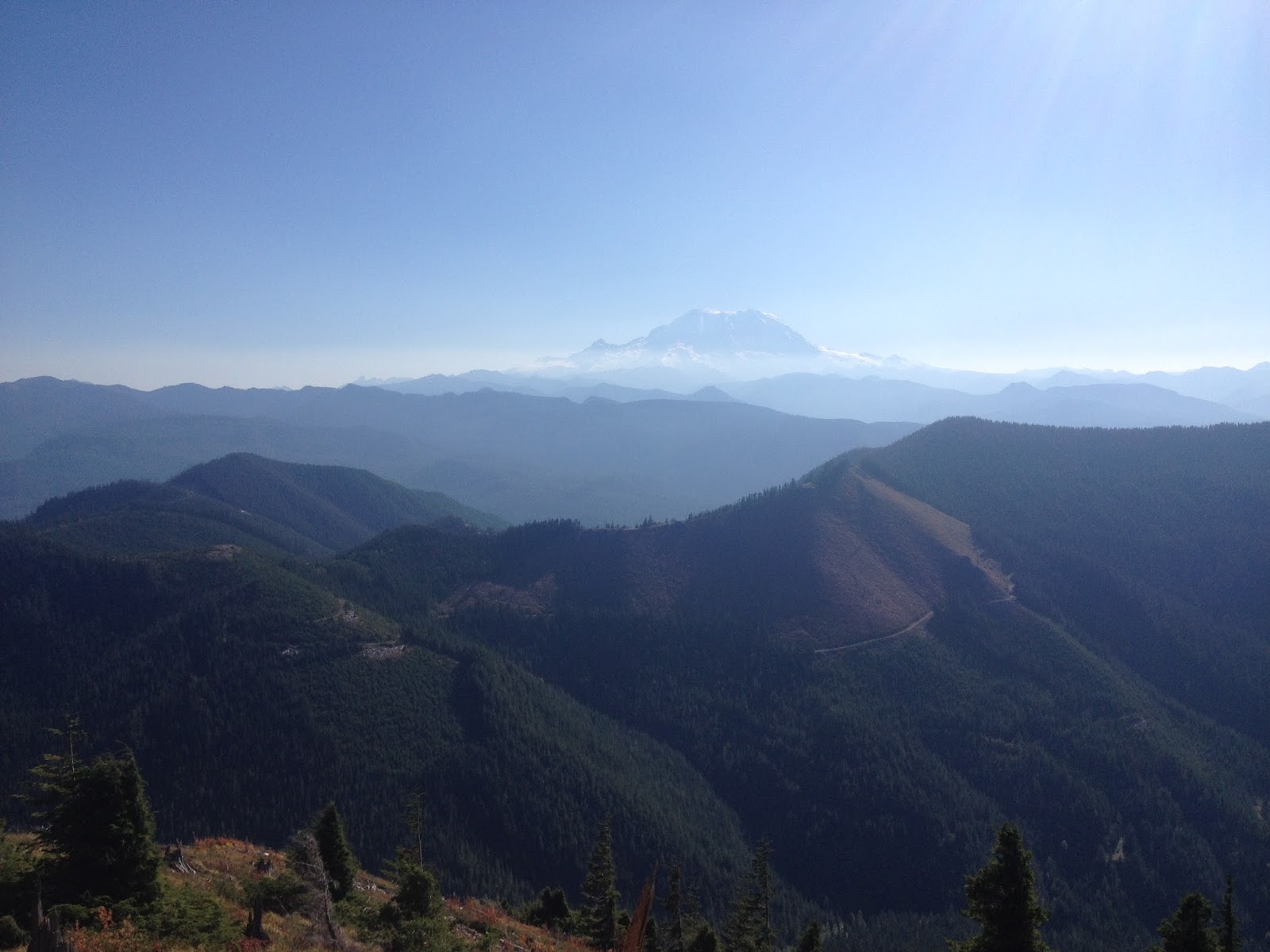
| Mount Rainier through the smoke |
 |
| Making the Geo Cache find at the top |
 |
| Not sure what is going on here. Peyton and Lily took lots of pictures for me. |

 |
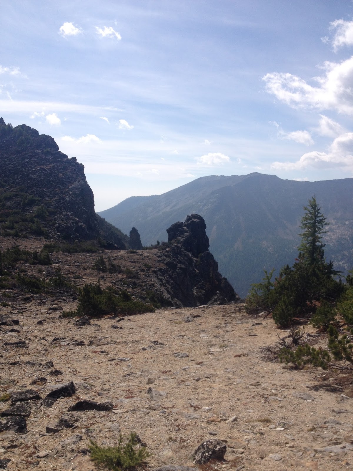
| Not sure where it goes but it is there. |
 |
| A quick picture of my setup. Elecraft KX1, Yaesu VX-6, 500mah battery, and a box to keep it all dry! |
 |
| Support for the EF Antenna. |
 |
| The radio all boxed up and ready for the trip off the summit. |
Summit information and resources used for planning
I use this app to estimate distances of new trails.
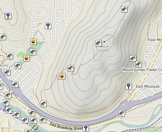
Here is one of my secrets!!! Even if you don't do geocaching take a look at the map. If you manipulate it right up can see every summit out there. If there is a geocache at the top, there is a way to get there. Sometimes if you click on the cache it will even give detailed directions to get there and some good pictures.
Here is an example of some decent directions learned from a geocache. The information was out dated but much of the time it is not.
I link to this site from my blog and from my blog to this site. This site is great because it posts the necessary information straight to the Summit Page.
http://www.cqgma.net/mvs/index.php
Adventure Radio Map View - I like this map as a way to see the summits. It seems more user friendly with filters then the SOTA mapping software.
http://www.nohrsc.noaa.gov/interactive/html/map.html
NOHRSC Interactive Snow Information - This is a great tool to see where the snow levels are and what they have looked like in the past on certain dates.
http://www.gpsvisualizer.com/draw/
Put in a route in this site and it will give you a gps file for the information you provide. This works if you want to draw and upload a route into your GPS for use on the trail.